- 1
-
-
Bioregional Mapping
Explore creation of a mapping guild and spin off project groups. Manages the mapping page of the RC website
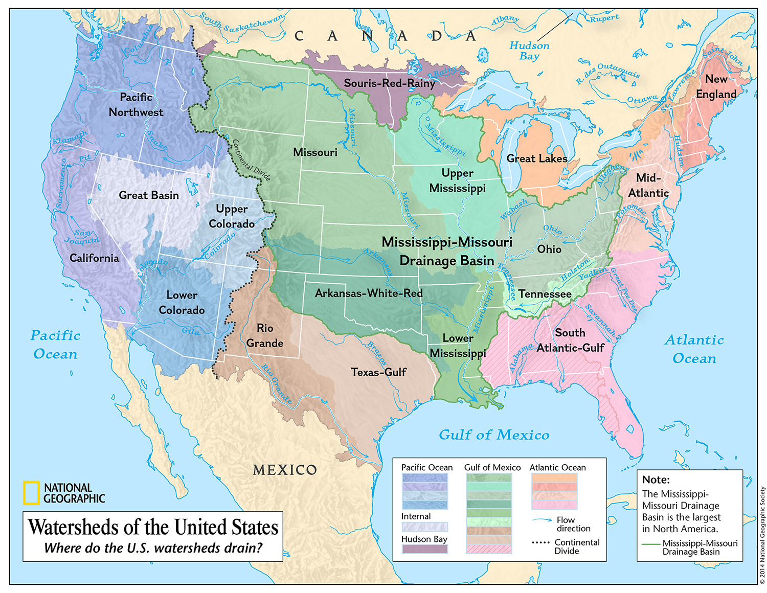
Provisional Mapping of Bioregions for Community Development
-
Provisional Mapping of Bioregions for Community Development
I’ve been getting a strong hankering for writing, a short paper proposing, a provisional framework of bioregions within Cascadia. This could put a rational system on the table for how to think about place-based conceptualization and by being provisional, would invite discussion, and could be a basis for doing community development work around a clear hypothesis of place identity (and perhaps inform the asset mapping activity).
My provisional framework would integrate:
1/ watershed boundaries
2/ population centers
3/ travel distance and difficulty
4/ historical tribal language groups
5/ salmon populations and genetics (as keystone species)
6/ changes in the nature of the common resource base.
Boundaries would be a little ambiguous, and work would focus on the central features of places rather than their edges.
Would this be welcome? @cascadiabrandon
It could result in an image map for a website page, and a proposed website group creation process?
It would build on this previous work…
https://watershedmaps.com/2023/03/25/salish-sea-and-surrounding-lands-folio-release-notes/
With data available here: (warning big KMZ file download)
https://drive.google.com/file/d/1RW0t60RE4KbqHnVW1J1Fe67skmtLzLyD/view?usp=drivesdk

Log in to reply.
